 Track 1 - Ring "Corazzano - Coiano"
 Track 2
 Track 3 - Single trail "Poggio all'Aglione"
 Track 4
 Track 5
 Track 6 - Ring "Sughera"
 Track 7
 Track 8
 Track 9
 Track 10
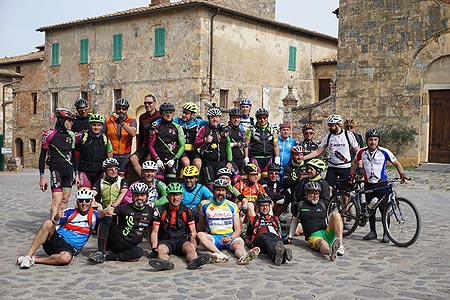
 Other mtb trails
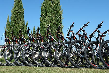

Track 8

Km
indicates the total length of the route from the starting to the arrival point.
Duration
indicates the time needed to complete the route considered an average (in motion) of about 10 km per hour for the mtb routes and 20 km per hour for the road bicycle routes, as well as a tolerance depending on the type of the path.
Elevation gain uphill
this is not the difference between the highest and lowest points reached during the journey, but the elevation gain uphill.
This is the sum of all altitude differences from the point of departure to the point of arrival. In other words, the greater the elevation gain uphill in height and the greater the number of climbs that must be faced, then the path will be harder.
Difficulty
Difficulty is always a very subjective parameter. We tried to give an assessment that considers a level of intermediate training and a good propensity to ride on dirt roads or long climbs sometimes challenging.
% Asfalto / Gravel
indicates, referring to the different locations of the territory of Montaione, the area where the route is located.
Area
indicates, referring to the different locations of the territory of Montaione, the area where the route is located.
The path's graph, indicates the highest and lowest points reached during the itinerary, in addition to the mileage (in km), the various locations touched and where there is the possibility of obtaining water. In the latter case, Montaione Mtb Trail Area relieves itself of any responsibility in case of lack of water supply.
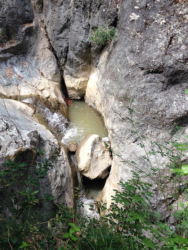
If from Montaione, we take "Via XVIII Luglio", a steep descent will take us up into the valley of the river "Egola" and after having made some fords, it is worth making a short detour to reach the "Pozzo Sfondato".
In this fascinating and wild place there is an old brick bridge over the ''Egola" creek. The stream flows on the rocks forming small waterfalls and digging real wells or holes where, on hot summer days, inhabitants of Montaione still go to cool off. From the valley of the "Egola"creek we climb up to enter Via Cerroni until we reach San Vivaldo.
We climb on Via Ecce Homo and take the left path with many uphills and downhills through the woods back to the valley with a peculiar and very steep final stretch to the "Egola".
After crossing the creek and the crystal clear waters running through the rocks and stones, we get to the paved road back to Montaione.


Download area


 on:
on: