 Track 1 - Ring "Corazzano - Coiano"
 Track 2
 Track 3 - Single trail "Poggio all'Aglione"
 Track 4
 Track 5
 Track 6 - Ring "Sughera"
 Track 7
 Track 8
 Track 9
 Track 10
 Other mtb trails
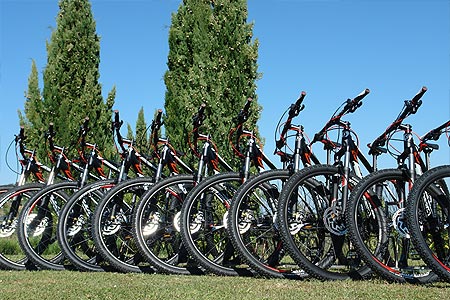

Track 2

Km
indicates the total length of the route from the starting to the arrival point.
Duration
indicates the time needed to complete the route considered an average (in motion) of about 10 km per hour for the mtb routes and 20 km per hour for the road bicycle routes, as well as a tolerance depending on the type of the path.
Elevation gain uphill
this is not the difference between the highest and lowest points reached during the journey, but the elevation gain uphill.
This is the sum of all altitude differences from the point of departure to the point of arrival. In other words, the greater the elevation gain uphill in height and the greater the number of climbs that must be faced, then the path will be harder.
Difficulty
Difficulty is always a very subjective parameter. We tried to give an assessment that considers a level of intermediate training and a good propensity to ride on dirt roads or long climbs sometimes challenging.
% Asfalto / Gravel
indicates, referring to the different locations of the territory of Montaione, the area where the route is located.
Area
indicates, referring to the different locations of the territory of Montaione, the area where the route is located.
The path's graph, indicates the highest and lowest points reached during the itinerary, in addition to the mileage (in km), the various locations touched and where there is the possibility of obtaining water. In the latter case, Montaione Mtb Trail Area relieves itself of any responsibility in case of lack of water supply.
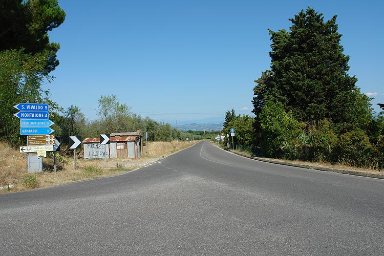
From Montaione follow the signs to Gambassi terme continuing to descend to the valley crossing the "Elsa" river near Certaldo. After a short stretch on highway 429, you leave behind the traffic to a secondary road that will take us climbing in San Donnino.
It is worth a quick stop to admire the beautiful dome of San Michele Arcangelo. This dome, ordered by Giovan Battista Capponi and design by Santi di Tito, was built between 1594 and 1597 on the site of the legendary Castle of Semifonte, destroyed in 1202 by the army of Florence. Oddly enough, the octagonal base reproduces in 1: 8 scale that most famous Cathedral of Florence, Santa Maria del Fiore.
After a few minutes pedaling on the ridge in a flat area, we reach Petrognano and from here we are off to Barberino Val d'Elsa, a town set in the green of the Tuscan countryside with a historic center still intact. Here is the wonderful Church of San Bartolomeo from which you can admire a unique picture of the Chianti countryside.
Then we start going back up from Marcialla to Fiano until reaching the modern area of Certaldo called Certaldo "Basso". The picturesque old part is called instead Certaldo "Alto" or the Castle, and is situated on a hill which overlooks the entire valley. After crossing the "Agliena" river we proceed up to Castelfiorentino to then return to Montaione.


Download area


 on:
on: